Back منطقة غوتا Arabic Гота (окръг) Bulgarian Zemský okres Gotha Czech Landkreis Gotha German Gotha (district) English Distrikto Gotha Esperanto Distrito de Gotha Spanish Gotha barrutia Basque گوتا (ناحیه) Persian Gotha (piirikunta) Finnish
Paghimo ni bot Lsjbot. |
| Landkreis Gotha | |
| Distrito | |
| Nasod | |
|---|---|
| Estado pederal | Thuringia |
| Gitas-on | 338 m (1,109 ft) |
| Tiganos | 50°54′38″N 10°42′43″E / 50.91056°N 10.71194°E |
| Area | 936.00 km2 (361 sq mi) |
| Population | 135,376 (2014-01-03) [1] |
| Density | 145 / km2 (376 / sq mi) |
| Timezone | CET (UTC+1) |
| - summer (DST) | CEST (UTC+2) |
| GeoNames | 2918750 |
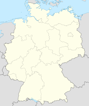
Distrito ang Landkreis Gotha sa Alemanya.[1] Nahimutang ni sa estado pederal sa Thuringia, sa sentro nga bahin sa nasod, 260 km sa habagatan-kasadpan sa Berlin ang ulohan sa nasod. Adunay 135,376 ka molupyo.[1] Naglangkob kin og 936 ka kilometro kwadrado.
Ang yuta sa Landkreis Gotha kasagaran kabungtoran, apan sa diha-diha nga ang mga palibot nga kini mao ang patag.[saysay 1]
Hapit nalukop sa kaumahan ang palibot sa Landkreis Gotha.[3] Dunay mga 155 ka tawo kada kilometro kwadrado sa palibot sa Landkreis Gotha medyo hilabihan populasyon.[4] Ang klima hemiboreal.[5] Ang kasarangang giiniton 7 °C. Ang kinainitan nga bulan Agosto, sa 18 °C, ug ang kinabugnawan Enero, sa −6 °C.[6]
- ↑ 1.0 1.1 1.2 Cite error: Invalid
<ref>tag; no text was provided for refs namedgn2918750 - ↑ Cite error: Invalid
<ref>tag; no text was provided for refs namedvp - ↑ Cite error: Invalid
<ref>tag; no text was provided for refs namednasalandcover - ↑ Cite error: Invalid
<ref>tag; no text was provided for refs namednasapop - ↑ Cite error: Invalid
<ref>tag; no text was provided for refs namedkoppen - ↑ Cite error: Invalid
<ref>tag; no text was provided for refs namednasa
Cite error: <ref> tags exist for a group named "saysay", but no corresponding <references group="saysay"/> tag was found
© MMXXIII Rich X Search. We shall prevail. All rights reserved. Rich X Search
